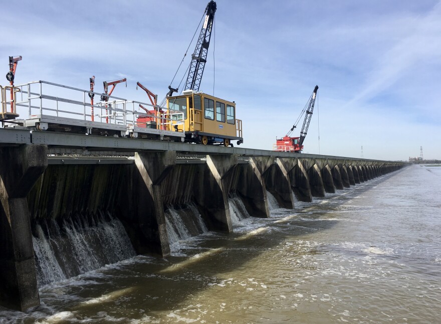
The Mississippi River is on the rise, but don’t pack your tailgating gear just yet, because the Bonnet Carre Spillway likely won’t be opened during this flood water peak.
The river reached 12 feet Thursday afternoon, which was high enough to trigger the Army Corps’ Phase 1 Flood Fight, but nowhere near the level necessary to open the spillway.
Under Phase 1, levees between Baton Rouge and New Orleans will be inspected twice a week. It also sets in place a number of restrictions meant to protect levee integrity, including a ban of subsurface construction work within 1,500 feet of the river levee, and limitations on the transport of heavy loads over levees.
The Mississippi River is currently forecast to crest at 13 feet on March 20. It’s expected to remain at that level for a few days before falling again. Daily levee inspections and additional restrictions are not triggered until the river reaches 15 feet.
Located upriver from New Orleans in Norco, Louisiana, the Bonnet Carre Spillway functions as a release valve for the Mississippi River, diverting a portion of its flood waters into nearby Lake Pontchartrain. Spillway use is triggered once the Mississippi River’s flow reaches 1.25 million cubic feet per second in the New Orleans area, which often correlates to about 17 feet at the Carrollton river gauge.
Spillway openings are typically open to the public and have attracted large crowds in recent years, even as opening events have become more and more frequent due to the increasing frequency of Mississippi River flooding.
The Bonnet Carre was opened just eight times between 1937 and 1997, but has been used seven times since 2008, including twice in 2019.
Climate-induced rainfall could be partly to blame for the increased river flooding, but a 2018 study estimated that 75 percent of the increase in 100-year floods in the Mississippi River basin is likely due to river engineering decisions, with the rest attributable to climate cycles.
Support for the Coastal Desk comes from the Greater New Orleans Foundation, the Walton Family Foundation, and local listeners.


